Aplikacje
QGIS jest nie tylko desktopowym programem GIS. Udostępniamy również przeglądarkę plików przestrzennych, aplikację serwerową i WWW.
QGIS Desktop
Twórz, edytuj, wizualizuj, analizuj i publikuj informacje przestrzenne.
Na systemy Windows, Mac, Linux, BSD i Android.
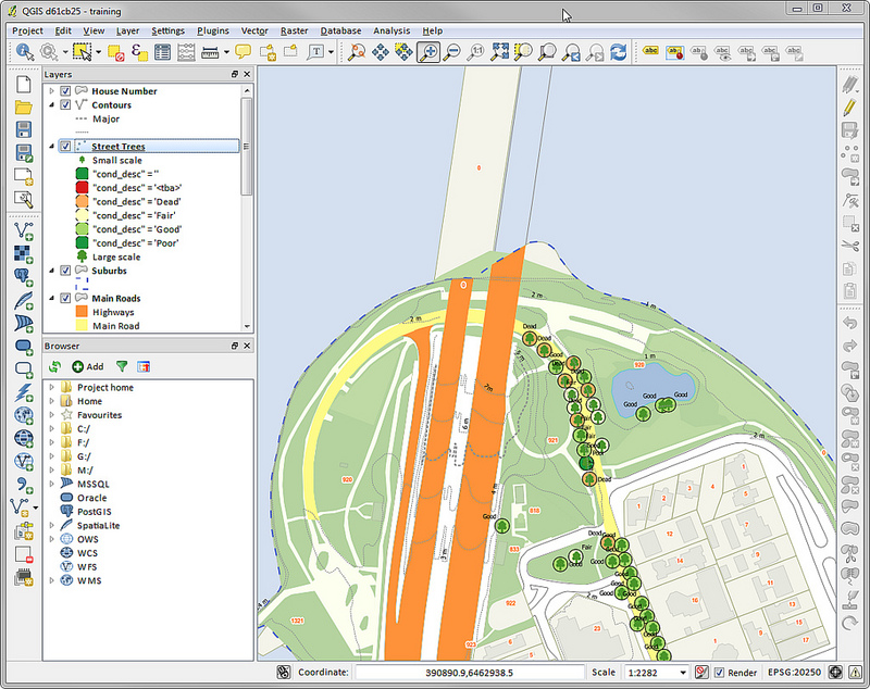
Zrzut ekranu QGIS Desktop
QGIS Server
Publish your QGIS projects and layers as OGC compatible WMS, WMTS, WFS and WCS services. Control which layers, attributes, layouts and coordinate systems are exported. QGIS server is considered as a reference implementation for WMS 1.3.
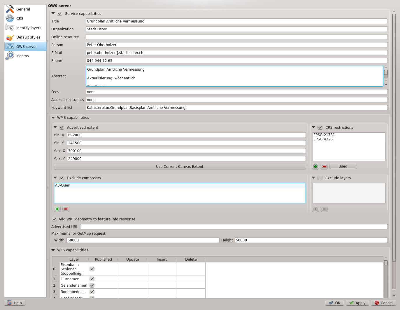
Zrzut ekranu konfiguracyjnego QGIS Server w QGIS Destop
QGIS Web Client
Z łatwością publikuj swoje projekty QGIS w sieci. Korzystaj z potężnych funkcji symboli, etykietowania i łączenia, aby zrobić wrażenie swymi mapami.
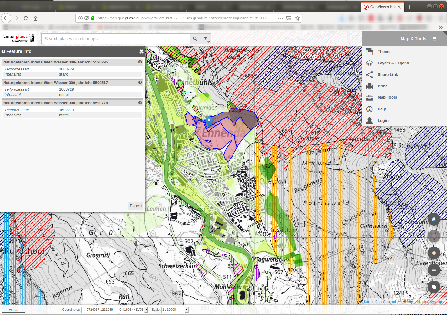
A screenshot of QGIS Web Client 2
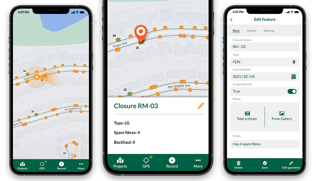
QGIS on mobiles and tablets
The QGIS experience does not stop on the desktop. Various third-party touch optimized apps allow you to take QGIS into the field
QField
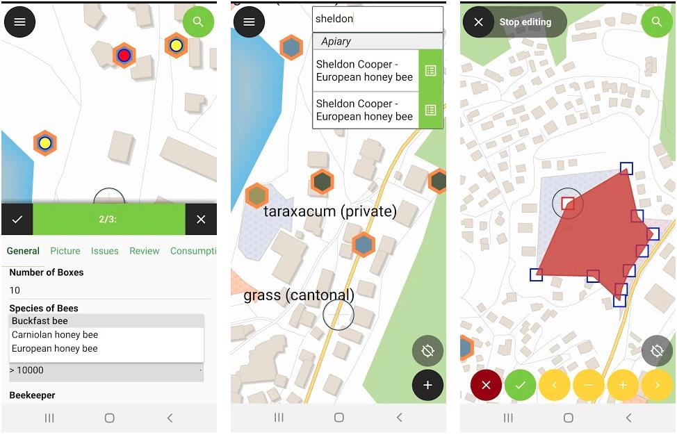
A screenshot of QField (available for Android, iOS, Windows, macOS, Linux)
Mergin Maps Input app
A screenshot of Mergin Maps Input app (available for Android, iOS, Windows)
IntraMaps Roam
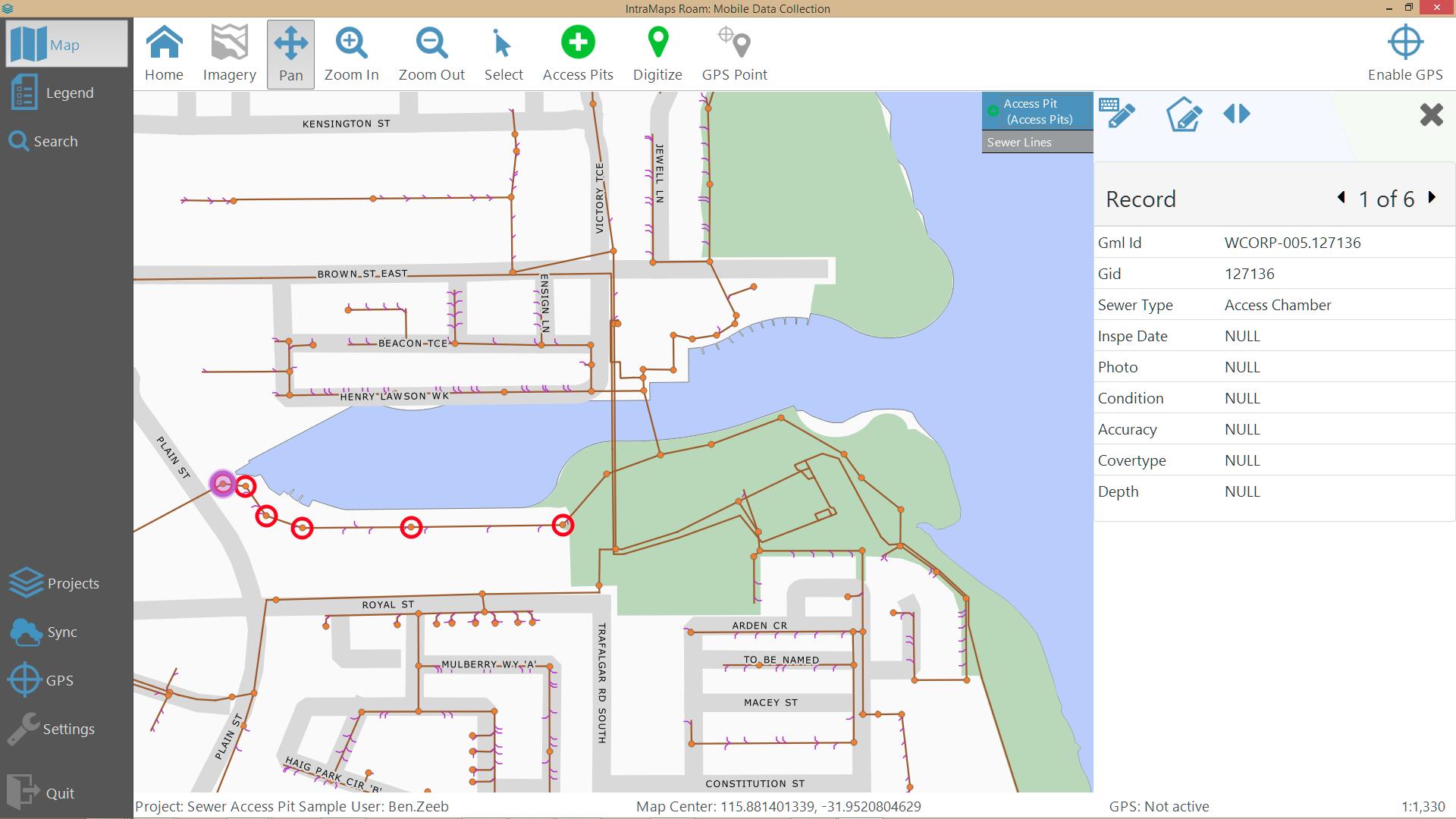
A screenshot of IntraMaps Roam (available for Windows)