Applications
QGIS is not only a desktop GIS. We also provide a spatial file browser, a server application, and web applications.
QGIS Desktop
Skab, redigér, visualisér, analysér og udgiv geospatial information.
Til Windows, Mac, Linux, BSD og Android.
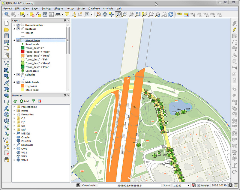
Et screenshot af QGIS desktop
QGIS Server
Publish your QGIS projects and layers as OGC compatible WMS, WMTS, WFS and WCS services. Control which layers, attributes, layouts and coordinate systems are exported. QGIS server is considered as a reference implementation for WMS 1.3.
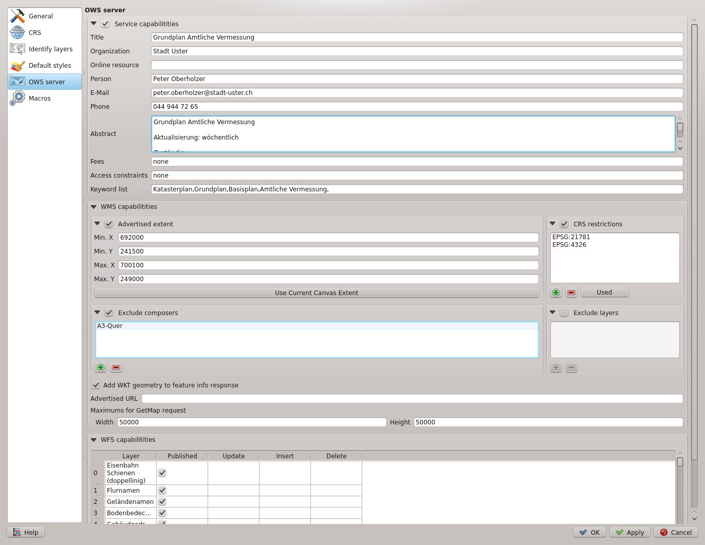
Et screenshot af QGIS server konfiguration i QGIS desktop
QGIS Webkilent
Publicér let dit QGIS-projekt på nettet, hvor du kan drage fordel af de kraftfulde symbol- og labeling-funktioner, der kan forbedre dine kort.
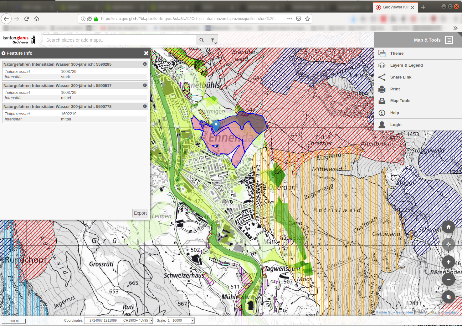
A screenshot of QGIS Web Client 2
QGIS on mobiles and tablets
The QGIS experience does not stop on the desktop. Various third-party touch optimized apps allow you to take QGIS into the field
QField
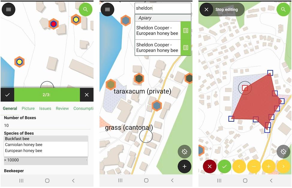
A screenshot of QField (available for Android, iOS, Windows, macOS, Linux)
Mergin Maps Input app
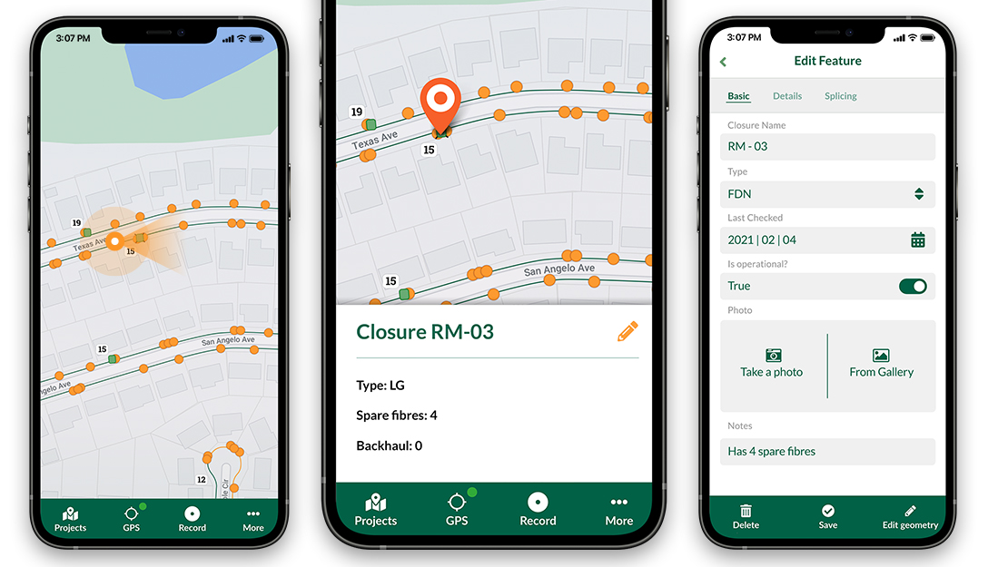
A screenshot of Mergin Maps Input app (available for Android, iOS, Windows)
IntraMaps Roam
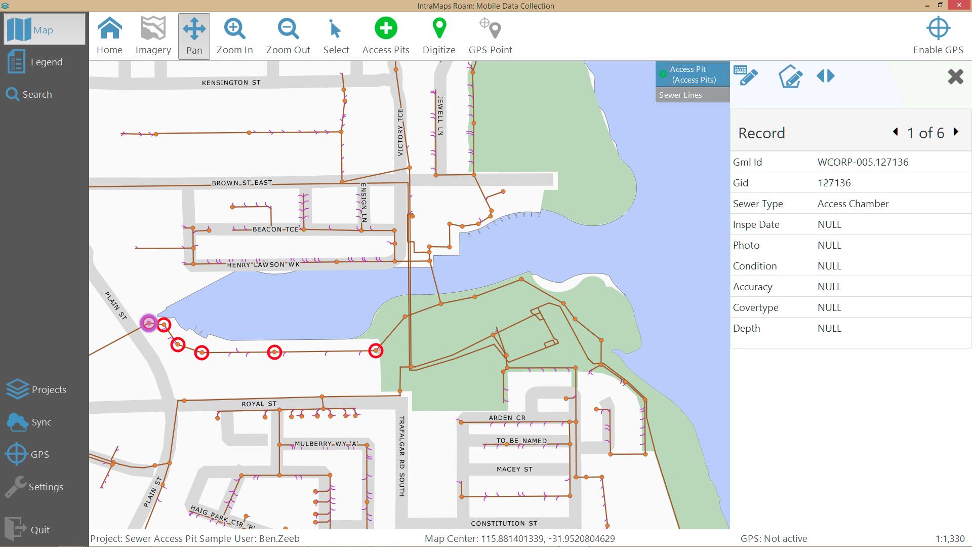
A screenshot of IntraMaps Roam (available for Windows)